

xx
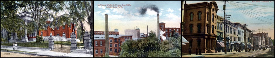
In 1966 and 1967, Hugh Donlon, reporter and columnist for the then Amsterdam Evening Recorder, wrote a series of articles describing various phases of the arterial construction which was about to begin in the city, 12 years and countless iterations after such plans were first presented in 1954. Illustrated with photos of streets scenes and buildings scheduled for reduction to debris and fading memories in the coming months, Donlon’s 62 part Arterial Scrapbook eventually chronicled most of the 67 original planned demolitions, either prior to or during their execution, as well as some last minute additions resulting from in-process arterial-plan changes. Essentially all of the locations were within or immediately adjacent to the downtown business district.
xx
Presented herein is the complete Arterial Scrapbook series of articles as they appeared in the Amsterdam Evening Recorder from April of 1966 through April of 1967. Given the limitations of obtaining acceptable quality reproduction of images and text from newsprint or microfilm, a majority of these are recreations rather than reproductions, i.e., photo captions have been retyped and included photos are from original photo prints where available, and font styles, sizes, and formats have been matched as closely as possible to the originals. The layout of the related stories which accompany some of the Arterial Scrapbook entries (indicated by an “*”, such as No. 11*, No.13*, etc.) has been revised to provide for improved screen display and easier viewing.
xx
The Arterial Scrapbook is provided in two formats.
xx